Seal element of the university of freiburg in the shape of a clover

Faculty for Environment and Natural Resources

Sensor-based Geoinformatics (geosense)

Abkürzung der Fakultät für Umwelt und Natürliche Ressourcen "unr" in der Farbe sand auf grünem, kreisförmigen Hintergrund

The Chair of Sensor-based Geoinformatics (geosense) studies the biosphere with a series of remote sensing technologies and data science tools. This includes data from Earth observation satellites, drones, or citizen science, which are analyzed with data analytical methods, such as deep learning and computer vision. We are particularly using these sensor and computational technologies to reveal distributions of plant species, functional traits, biodiversity, plant stress, and mortality.

Highlights

Plant trait configuration across biomes

planttraits.earth: Crowdsourcing global patterns of functional diversity

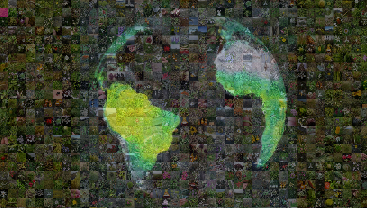
A central goal in global ecology is to move beyond mapping where species occur to understanding what they do, as captured by their functional traits and the diversity of strategies within communities. This initiative maps community-weighted means and full trait distributions for dozens of plant functional traits at high resolution worldwide by integrating crowdsourced biodiversity observations with professional vegetation surveys, trait databases, and Earth observation data. Our maps, tools, and methods are openly accessible through planttraits.earth, providing a foundation for understanding how functional diversity shapes ecosystem functioning under global change.

Read more

Forest mortality and disturbance monitoring

deadtrees.earth – towards revealing global tree mortality dynamics with drones and satellites

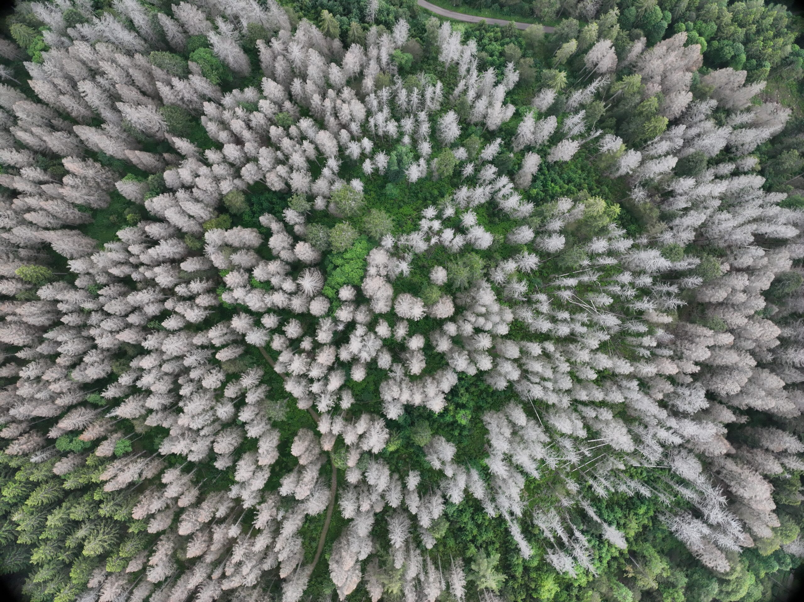
For a long time, large-scale mapping of tree mortality was constrained by a key bottleneck: the lack of reliable reference data. While satellite Earth observation offers global coverage, too few well-located examples of dead trees limited robust model training, but this is now changing as drone imagery and crowdsourced observations rapidly expand high-quality reference data. deadtrees.earth brings these streams together in a single platform—combining drone data and satellite time series with AI to detect forest dynamics across landscapes—making data and tools openly accessible and enabling researchers and practitioners to link forest decline to climate extremes, disturbances, and forest structure.

Read more

Leaf movements as stress indicator

AngleCam: Tracking leaf angles dynamics with videos

Leaves are not static—they move, revealing how plants capture light, regulate heat, and respond to drought, often hours before visible stress appears. Yet tracking these dynamics continuously has been difficult. AngleCam is a deep learning model that estimates leaf angle dynamics directly from images taken by time-lapse cameras or smartphones, working across 200+ species and even night-vision data. By unifying data and tools in one accessible framework, it integrates with flux towers, PhenoCam networks, and citizen science platforms like iNaturalist. Linking leaf angle dynamics with ecosystem and satellite observations sharpens our understanding of vegetation responses to climate extremes. All data, code, and pretrained models are openly available

Read more

Quality assessment of LiDAR data

CANOPY for LiDAR data: Making the unknown visible

CANOPy is an open-source toolbox that turns raw LiDAR point clouds into intuitive, high-resolution maps showing which parts of a forest or landscape are visible and which are hidden (occluded) by trees and other objects. This helps you quickly understand what your data actually “sees,” identify blind spots, and assess data completeness. The tools are written in Python, optimized for large datasets, and supported by open repositories and tutorials, making them easy to integrate into existing workflows. CANOPy is particularly relevant for terrestrial and drone-based laser scanning, where occlusion strongly affects data quality, interpretation, and the accuracy of derived structural metrics.

Read more

Smartphone images to plant functioning

PlantTraitNet – large-scale diversity information from crowd-sourced imagery

PlantTraitNet is a deep learning framework that translates crowd-sourced smartphone images into key plant functional traits, including plant height, leaf area, specific leaf area, and nitrogen content. Using weak supervision and multi-modal learning, it extracts quantitative information on plant function directly from citizen science photos.
Aggregated across space, these predictions generate global trait maps that outperform existing products when validated against independent data (sPlotOpen). This shows how everyday images can be turned into scalable, accurate insights on plant function for ecological research and Earth system modeling.

Read more

Documenting the World´s forests 3D structure

3Dtrees.earth: a dynamic research data management for forest intelligence

3Dtrees.earth is a dynamic research data management platform for forest intelligence, designed to unlock the potential of close-range LiDAR for forest monitoring. While terrestrial, mobile, and drone-based LiDAR capture forest structure at high precision, broader use is limited by scattered data, inconsistent metadata, and limited access to scalable analytics. 3Dtrees.earth addresses these challenges by bringing datasets, standardized metadata, in-browser visualization, and executable workflows together in one open, community-driven platform.

Read more

Research

Get informed about our main lines of research and related projects.

Teaching

Explore our BSc and MSc curriculum.

Publications

Discover our publications, conference talks , workshops, competition and more.