Movements of Plant Leaves Distort Satellite-Based Vegetation Monitoring
Freiburg, 02/10/2024
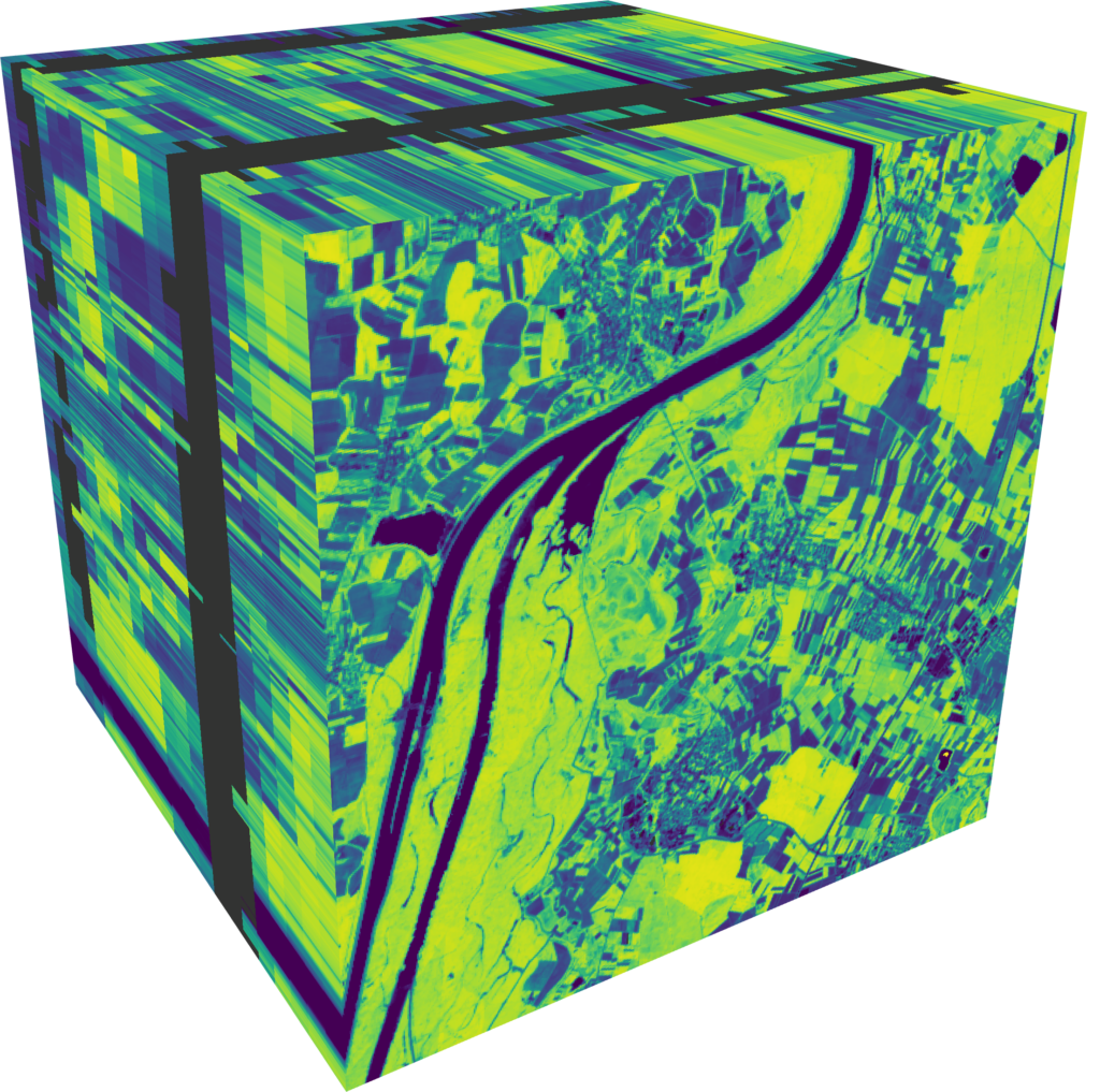
Satellites have been used since the 1970s to observe the condition of vegetation on Earth. However, the movement of plant leaves can systematically influence this satellite data and lead to misinterpretations of vegetation conditions. This has been demonstrated for the first time in a study led by the Freiburg geoinformatics expert Prof. Dr. Teja Kattenborn in the Nature journal Communications Earth & Environment.
- Changes in the leaf angle led to a changed reflection of light, thus influencing common satellite-based vegetation indices used to monitor plant characteristics like chlorophyll content and water status. It is therefore necessary to use other methods to distinguish real vegetation dynamics from mere movements of the leaves, say the researchers.
- The leaf angle – and thus the reflection of light – is influenced systematically by environmental factors like soil moisture and temperature, as the researchers succeeded in demonstrating with the help of experiments on ten different tree species. The influence of the environmental factors on the leaf angle differs between different plant species.
- In the future, these findings could be used to improve the possibilities for researching ecosystem dynamics, particularly in the context of extreme weather events like drought periods.
‘Ever since the first NASA Earth observation missions, scientists have used satellite data to track biophysical vegetation characteristics like biomass and chlorophyll content – but often with a high degree of uncertainty. Our research shows that part of this uncertainty arises from leaves moving over time. This challenge also provides opportunities. For example, hanging leaves and their influence on the satellite signal could allow us to identify drought stress from space.’