GeoLabel – a NFDI4Earth Pilot for efficient Labelling of Geospatial Data
Project summary
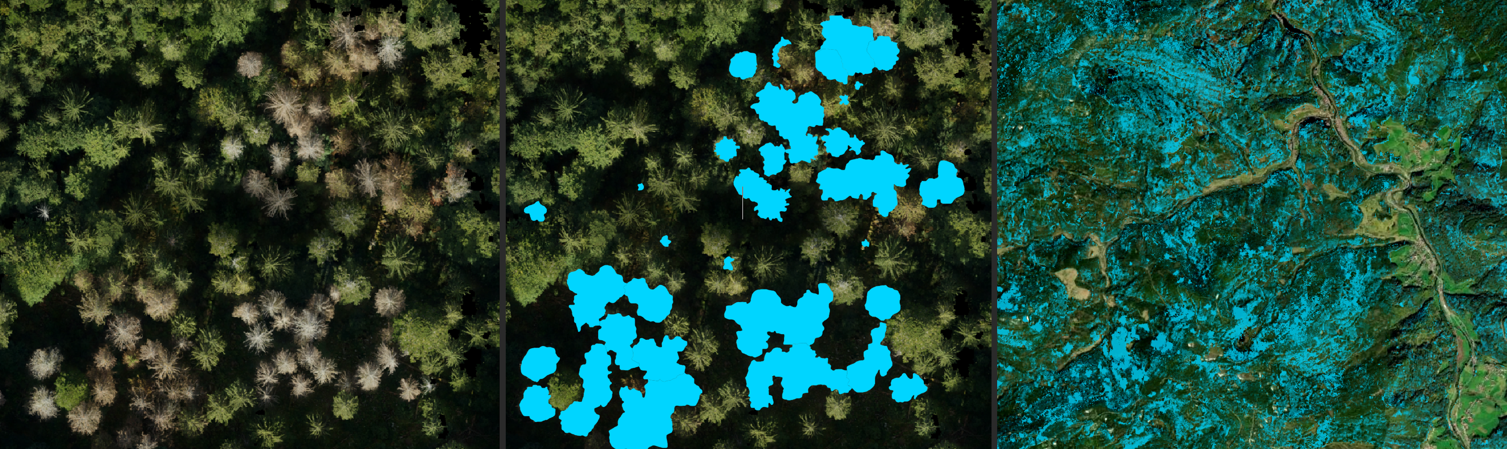
Current annotation tools for geospatial data in Earth System Science are inadequate for handling large-scale datasets, lacking compatibility with common formats, user-friendly features, and robust export capabilities. To address these challenges, the NDI4Earth (National Research Data Infrastructure Germany), funded GeoLabel, a pilot project located at the Department for Sensor-based Geoinformatics. GeoLabel will develop a WebGIS-based annotation tool that supports georeferenced labeling, improving the efficiency and accuracy of AI model training. This platform will offer features like AI-assisted labeling, standardized metadata, and crowd-sourcing compatibility, benefiting researchers, data curators, and citizen scientists. By streamlining and standardizing geospatial data labeling workflows, GeoLabel will significantly advance data analytics and research management, supporting broader NFDI4Earth initiatives.
| Associated researchers | Janusch Vajna-Jehle, Teja Kattenborn, Anna Göritz |
| Duration | 2024-2025 |
| Funding | NFDI4Earth |
Project resources
- GeoLabel demo in the context of tree mortality mapping (soon): deadtrees.earth
- Project proposal: https://www.nfdi4earth.de/images/462_NFDI4Earth_GeoLabel.pdf
- Project description at NFDI4Earth: https://www.nfdi4earth.de/2participate/pilots