UAVforSAT – Operationalization of Vegetation Mapping through UAV-based Reference Data Acquisitions and Cloudbased Analysis of Earth Observation Data
Project summary
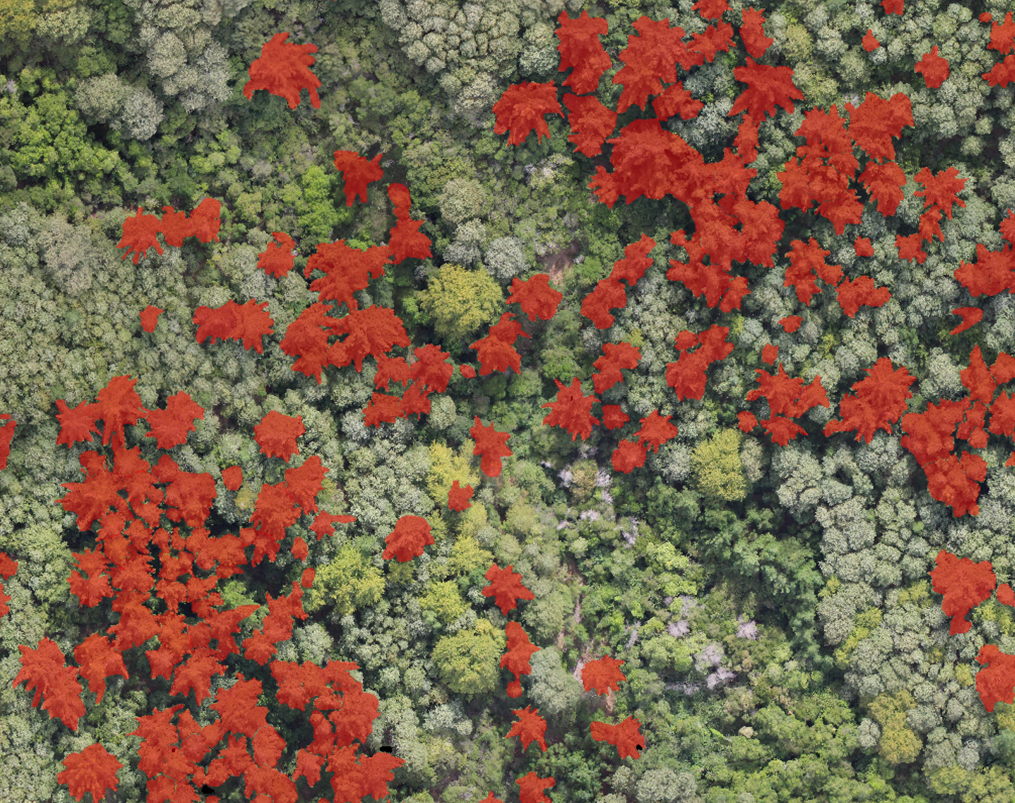
The project addresses the problem of efficiently conducting operational vegetation mapping using satellite data, which is hindered by two main challenges: the high costs and logistical difficulties of acquiring in-situ reference data, and the increasing computational and storage demands associated with processing large volumes of earth observation data. To overcome these obstacles, the project aims to develop a satellite-based processing chain that integrates Unmanned Aerial Vehicles (UAVs) and Deep Learning Algorithms for automated reference data acquisition. These UAV-derived vegetation maps will serve as the foundation for large-scale vegetation mapping based on satellite data.
| Associated researchers | Teja Kattenborn, Felix Schiefer |
| Collaborators | Sebastian Schmidtlein, LUP – Luftbild Umwelt Planung |
| Duration | 2020-2024 |
| Funding | DLR / BMWi |
Project resources
- Project website at KIT: https://www.ifgg.kit.edu/english/projects_1726.php
- Kattenborn et al. 2022, ISPRS Open: https://www.sciencedirect.com/science/article/pii/S2667393222000072
- Schiefer et al. 2023, ISPRS Open: https://www.sciencedirect.com/science/article/pii/S2667393223000054
- Schiefer et al. 2020, ISPRS: https://www.sciencedirect.com/science/article/pii/S0924271620302938
- Kattenborn et al. 201, ISPRS: https://www.sciencedirect.com/science/article/pii/S0924271620303488