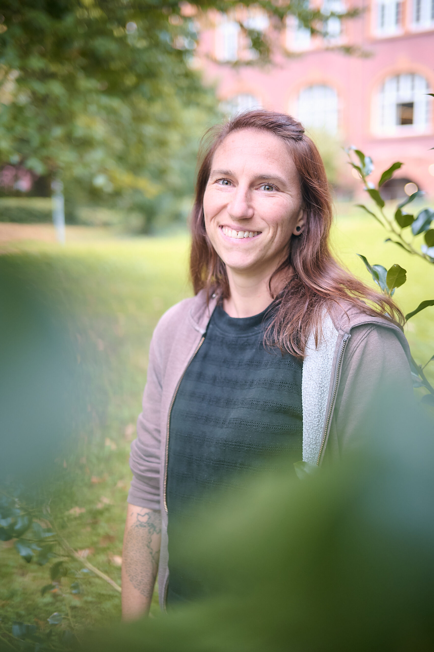
Selina Ganz
Function
- Research Associate
Contact
- selina.ganz@felis.uni-freiburg.de
- Tennenbacher Str. 4, 79106 Freiburg
- Room 03.041
Main interests
- Detecting biodiversity-relevant forest structures through a broad range of different remote sensing data sets, with the aim of supporting biodiversity monitoring
- Making our maps accessible to a diverse community, thereby facilitating their utilization in practice, policymaking and research
Short CV
- Research Associate at Geosense (Department for Sensor-based Geoinformatics) (2023-today)
- Research Associate at FVA (Forest Research Institute Baden-Württemberg) (2016-2023)
- Research Assistant at FVA (Forest Research Institute Baden-Württemberg) (2015-2016)
- M.Sc. Environmental Sciences, University of Freiburg (2013-2016)
- B.Sc. Applied Biology, Karlsruhe Institute of Technology (KIT) (2011-2013)
- B.Sc. Technical Biology, University of Stuttgart (2010-2011)
Associated research projects
- ProQualTools (2016-2019) – Development of approaches to predict wood quality with remote sensing data through the derivation of single tree variables from aerial images and LiDAR data.
- MoBiTools (2019-today) – Monitoring of biodiversity with tools of remote sensing – Development of remote sensing-based methods to identify biodiversity-relevant forest structures from aerial images, satellite data, terrestrial and aerial LiDAR data as well as from drone data
