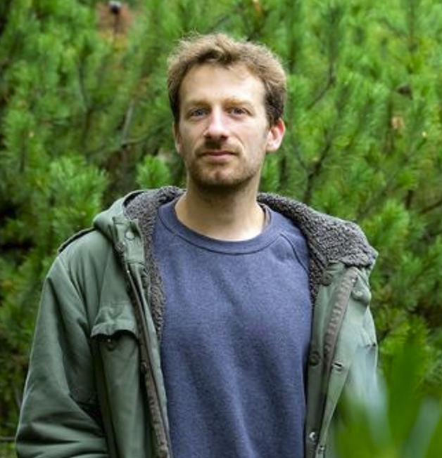
Prof. Dr. Teja Kattenborn
Function
- Head of department
- Spokesman of Research Area B of the CRC ECOSENSE
- Steering committee XR Future Forest Lab
- Member of the Cluster of Excellence Future Forests
- Associate Editor at Forestry (Oxford University Press)
Contact
- Teja.Kattenborn[at]geosense.uni-freiburg.de
- Tennenbacher Str. 4, 79106 Freiburg
- Room 03.020
Main interests
- Multi-sensor & multi-temporal remote sensing across scales
- Plant Functioning, Biodiversity, Plant and Ecosystem Processes
- Geospatial Data Science, Machine & Deep Learning
- Radiative Transfer Modelling
Short CV
- Since 2023 Full Professor (W3) for Sensor-based Geoinformatics
- Researcher at the Remote Sensing Centre for Earth System Research (RSC4Earth), 2019-2023, Leipzig University.
- Research visits at various institutions, including the Joint Research Centre (JRC) of the European Commission, Ispra, and the University of Minnesota.
- PhD in Remote Sensing, 2018, Karlsruhe Institute for Technology (KIT).
- MSc Environmental Sciences, GIS and Environmental Modelling, 2015, University of Freiburg / Stellenbosch University.
- BSc Environmental Sciences, 2012, University of Freiburg.
Selected Awards
- Emmy Noether Fellowship of the Germany Research Foundation (DFG) for the research group PANOPS – Revealing Earth´s plant functional diversity with citizen science.
- ARCADIS price for Geo- and environmental research for the Ph.D. thesis Linking Plant functioning and Canopy Reflectance with Radiative Transfer Modelling.
- Award for the Best oral presentation at the IAVS Annual Symposium 2019, Bremen, Germany for the presentation Combining Convolutional Neural Networks and high resolution UAV imagery – a powerful tool for vegetation mapping.
- Award for the Best oral presentation at the EARSel SIG Imaging Spectroscopy Workshop Brno, Czech Republic for the presentation After this Talk You will always map Leaf Pigment Content and not Concentration.
- Outstanding Paper Award (supervisor) for Elena Sierra at AAAI 2025 for DivShift: Exploring Domain-Specific Distribution Shift in Volunteer-Collected Biodiversity Datasets (link to study).
- GBIF Young Researchers Award (supervisor) for Christopher Schiller for the study Predicting plant functional traits using photographs and artificial intelligence (link to study).
Associated research projects
- BigPlantSens – Assessing Synergies of Big Data and Deep Learning for Remote Sensing of Plant Species
- deadtrees.earth – a dynamic database for analyzing, and visualizing remote sensing-based tree mortality
- ECOSENSE – DFG Collaborative Research Centre
- GeoLabel – a NFDI4Earth Pilot for efficient Labelling of Geospatial Data
- LeafH2O – A UAV-mounted dual-wavelength LiDAR for leaf water content retrieval
- PANOPS – Revealing Earth´s plant functional diversity with citizen science
- sPectra
- UAVforSAT – Operationalization of Vegetation Mapping through UAV-based Reference Data Acquisitions and Cloudbased Analysis of Earth Observation Data
- XR Future Forest Lab – virtual reality, augmented reality and mixed reality applications for forest and environmental sciences
